Look at a map of Manhattan above Houston Street and it's almost insultingly tidy: a ruled grid of numbered streets and numbered avenues, laid down on purpose by the Commissioners' Plan of 1811 to carve the island into sellable rectangles.1 It is one of the most deliberately designed pieces of city on Earth. And running straight through it, ignoring the whole scheme, is one stubborn diagonal: Broadway, slashing across the grid at an angle and tearing open a wedge of leftover public space everywhere it cuts an avenue — Union Square, Madison Square, Herald Square, Times Square.2
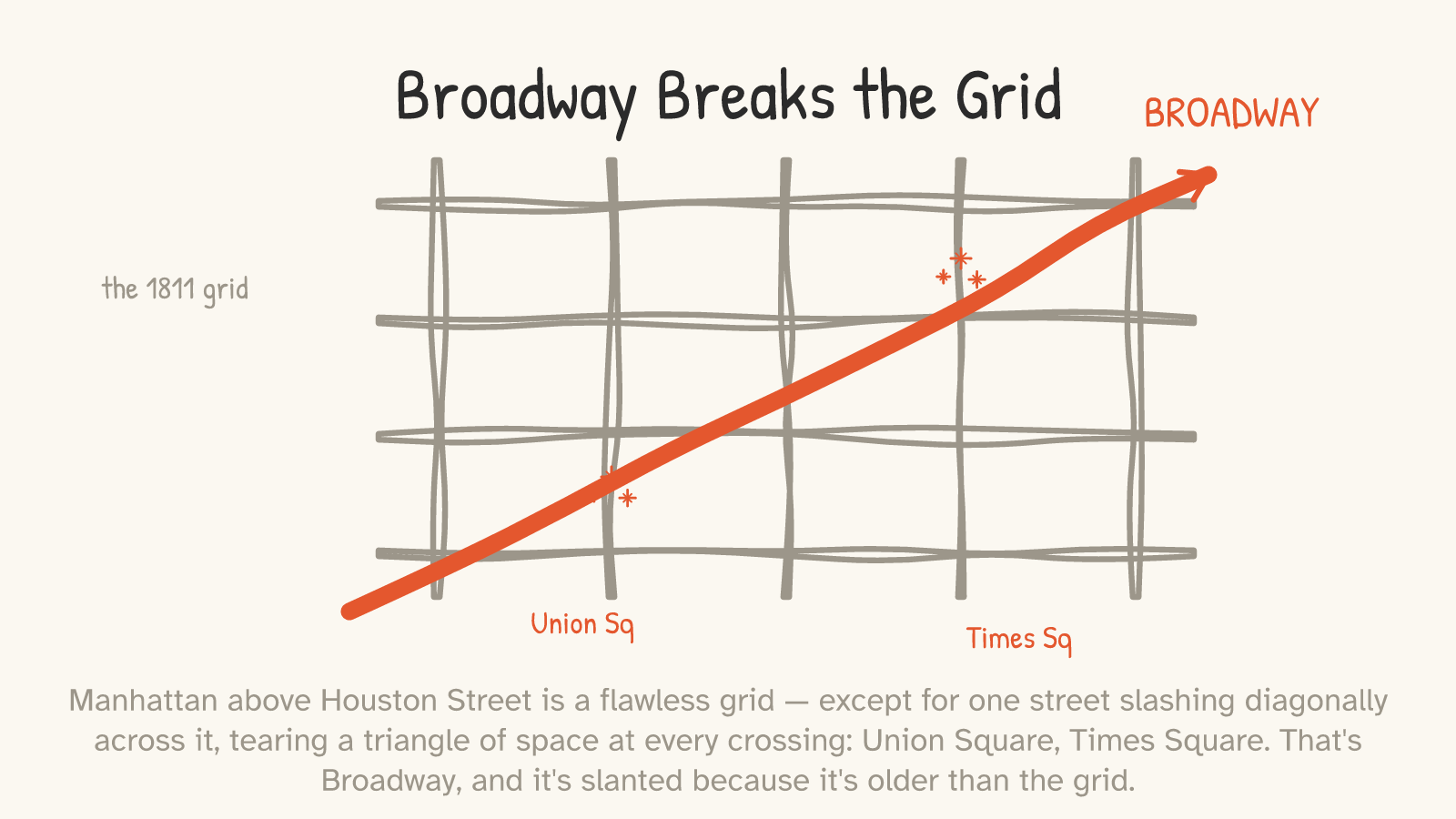
Why is Broadway crooked when everything around it is straight? Because Broadway is older than the grid. Its lower course — from the Battery up to about 23rd Street — follows a Lenape footpath that was already there, well-worn, when the Dutch arrived; a Dutch sea captain and colonist named David de Vries noted it in his journal in 1642 as "the Wickquasgeck road over which the Indians passed daily," and the Dutch widened the old trail into the main street of their town — the road we now call Broadway.3 When the 1811 planners drew their perfect grid, they couldn't be bothered to erase the busy street everyone already used, so they left it in — and the grid had to bend around it forever after. (One honest scope, because the romantic version oversells it: only the lower, winding stretch is the inherited trail. And the original trail didn't even vanish at 23rd Street — it veered east, roughly along what is now St. Nicholas Avenue, while the straight upper run of Broadway was laid out later on a fresh line. Broadway is half fossil, half plan.3)
That's the whole essay in one street. The built world looks authored. A surprising amount of it is inherited — and once you can see the seams, you can't unsee them.
Nobody drew the first one
Here's the mechanism, and it's almost embarrassingly simple. A person on foot — or a deer, or a buffalo — does not survey. It doesn't draw a straight line between two points and bulldoze what's in the way. It takes the path of least resistance: around the swamp, along the dry ridge, through the one gap in the hills, down to the shallow place where you can cross the river. That line gets walked enough times to wear in. Then someone rides it. Then it gets graded for carts, then paved for cars, then widened — and at every step, the cheapest thing to do is to follow the line that's already there.
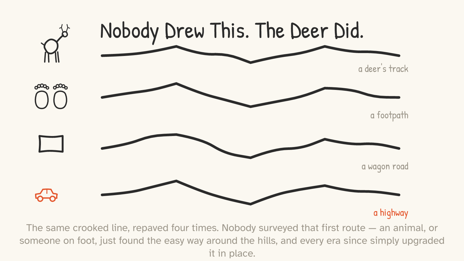
So the crooked street isn't a mistake or a quaint accident. It's an optimization — just not one anybody consciously performed. The first traveler solved the terrain, and every era since has inherited the solution. (Worth saying plainly, because it's easy to get romantic here: the Native trails that became so many American roads weren't aimless wandering or some mystical communion with the land. They were practical, efficient routes between real places — genuine engineering, on foot, that we should credit as such.4)
The cases that actually hold up
This is a genre thick with folklore, so let me earn the idea with examples that survive a fact-check.
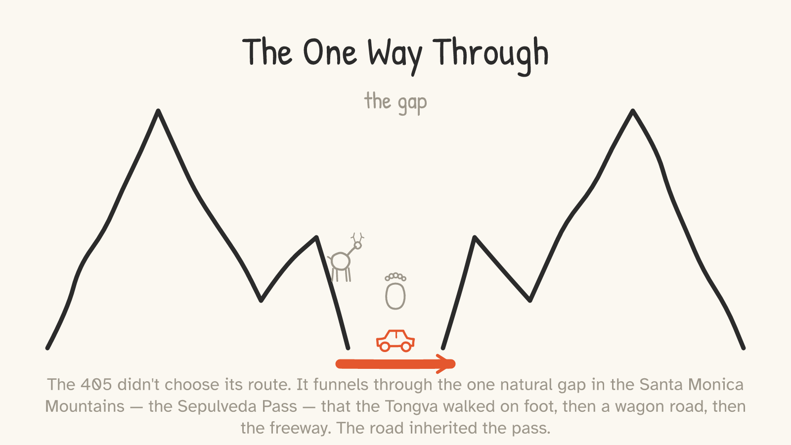
The clearest modern one runs through Los Angeles. The 405 freeway climbs over the Santa Monica Mountains through the Sepulveda Pass — and it goes there because that pass is the one practical gap in the range. The Tongva crossed it on foot for centuries; the 1769 Portolá expedition used it; in 1875 ranchers widened it into a wagon road; and the freeway was cut through in 1960–62.5 Each version inherited the same corridor for the same reason: it's the only sane way through. (The freeway needed enormous cuts and earthworks — it is not the literal dirt path. What persisted is the route, not the trail.5)
It happens at mountain gaps everywhere. At the Cumberland Gap, where Kentucky, Virginia, and Tennessee meet, the National Park Service will tell you outright that the buffalo blazed the trail through the gap; bison, then Native nations, then the trail Daniel Boone's party cut in 1775 (widened into a wagon road in 1796), then a modern highway, all threading the same notch in the ridge.6 The Natchez Trace may have begun the same way — a bison trace toward salt licks, an origin inferred from the way its course hugs the ridgelines and dodges the swamps, exactly as a heavy animal seeking the easy grade would.7
And someone saw the whole pattern clearly enough to write it as a poem — in 1895. Sam Walter Foss's "The Calf-Path" tells of a calf ambling crookedly home through the woods; a dog follows its track, then sheep, then men, and over centuries the wandering line is paved into "the crooked highway of a renowned metropolis." His closing couplet has never been bettered:8
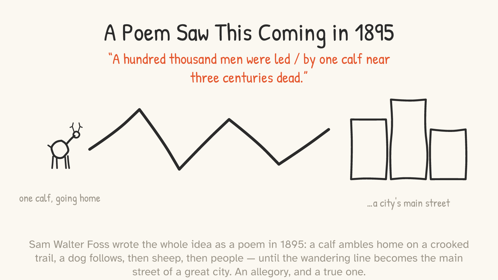
It's an allegory, not a survey record — but it's a true one, and we'll see in a minute that economists eventually gave it a name.
First, the myths
Before the real principle, the fakes — because naming them is what makes the real cases trustworthy.
"Boston's streets were laid out by cows." You've heard it; it's charming; it's wrong. Boston's tangle comes from genuinely difficult topography (the original three-hilled Shawmut peninsula), old property lines, piecemeal cart ways, and the slow gluing-together of separate towns over centuries — organic human growth, not livestock. The cow story traces to an Emerson quip — "we say the cows laid out Boston," from his 1860 book The Conduct of Life — a joke pushing 170 years old that hardened into fake history.9
"The railroad gauge comes from Roman war chariots." This is the forwarded-email classic: standard rail gauge is 4 feet 8.5 inches because that's the width of two Roman horses' backsides, and so on. It's a hoax. That gauge — 1,435 mm, now roughly 55% of the world's railways — came from the English colliery wagonways that George Stephenson built his early railways to roughly match. Coal carts, not chariots; northern England, not Rome.10
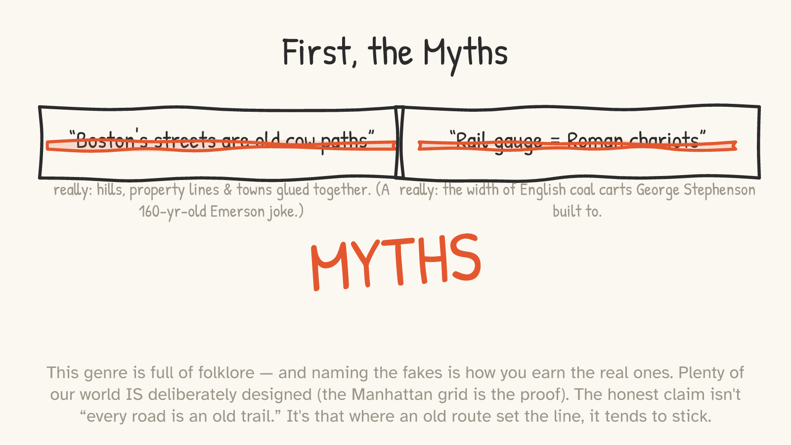
And the biggest concession of all: most infrastructure really is designed. The Manhattan grid was planned from scratch. So were grid cities the world over and the entire Interstate Highway System. The claim of this essay is not "every road is an old trail" — that's the folklore. The honest claim is narrower and more interesting: where an old route set the line first, the line tends to stick. Broadway is only a great story because it breaks a grid that was otherwise imposed by fiat.
The real principle: path dependence
So why do old routes survive at all, when we have bulldozers and the will to use them? Not magic. Economics.
Once a route exists, things grow up against it. Buildings, property lines, water mains, the addresses of everyone who lives there — all of it assumes the road is where it is. To move the road, you'd have to buy out and demolish everything that crowded in along it, which costs vastly more than just repaving the line you've got. So you repave the line you've got. An early, half-accidental choice gets locked in, because everything built afterward is built on the assumption that it's permanent. Economists call this path dependence, and the foundational paper is Paul David's 1985 "Clio and the Economics of QWERTY."11
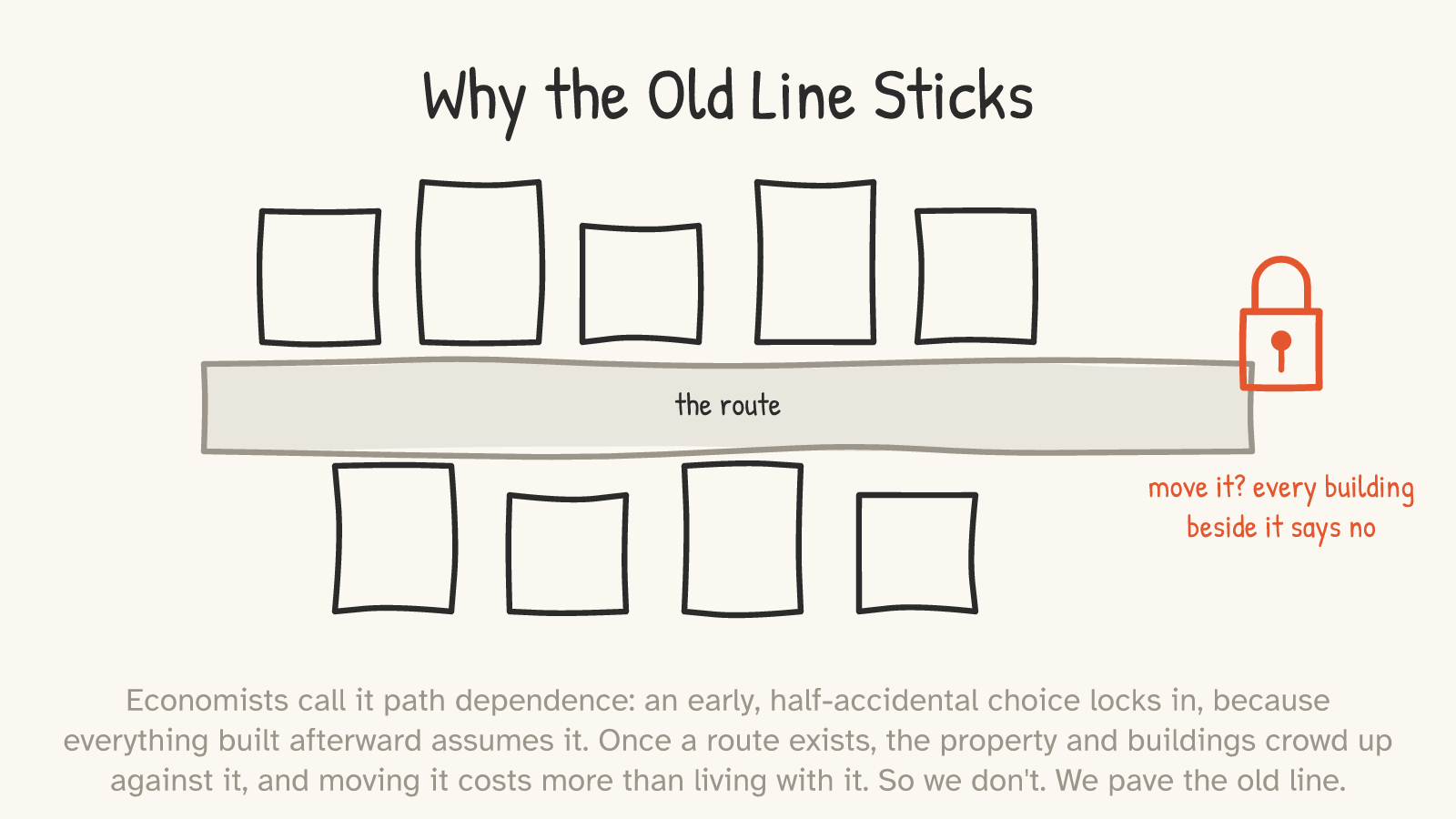
The railroad gauge turns out to be the perfect example — a real lock-in wearing a fake origin story. The chariot tale is nonsense, but the gauge genuinely is frozen happenstance: Stephenson's roughly-arbitrary coal-cart width became the planetary standard for no deeper reason than that it went first, and once thousands of miles of track were laid to it, every later mile had to match.10 The keyboard you're reading this on is another — QWERTY locked in by a head start, not by winning a contest. (Whether some other layout would actually be better is genuinely disputed; the famous claims that QWERTY is provably inferior have been challenged. But the lock-in itself — that we kept it because we started with it — isn't in doubt.12)
And the lines really do persist on the scale of millennia. A 2022 study in the Journal of Comparative Economics found that the parts of Europe with the densest network of ancient Roman roads still have the densest modern roads — and measurably more economic activity — two thousand years later (with a telling exception: where the road network was later abandoned, the persistence breaks down, which is the proof that the roads are doing the work).13 The Romans drew a line, and the line is still pulling traffic toward it after the western empire that drew it has been gone for fifteen centuries.
It's happening right now
The best part is that you don't need a time machine to watch this work. Look at any campus lawn or park where a paved walkway turns a corner and people don't — where there's a bare dirt streak worn diagonally across the grass, cutting the corner the pavement refused to cut.
That has a name. It's a desire path — the route chosen by feet, one footstep at a time, voted into the ground by everyone who decided the official way was too long.14 It is the deer track and the calf-path and the Lenape footpath, forming in real time, right in front of you. And some planners have learned the lesson: instead of fighting the desire paths, they wait to see where people actually walk, and then pave those.14
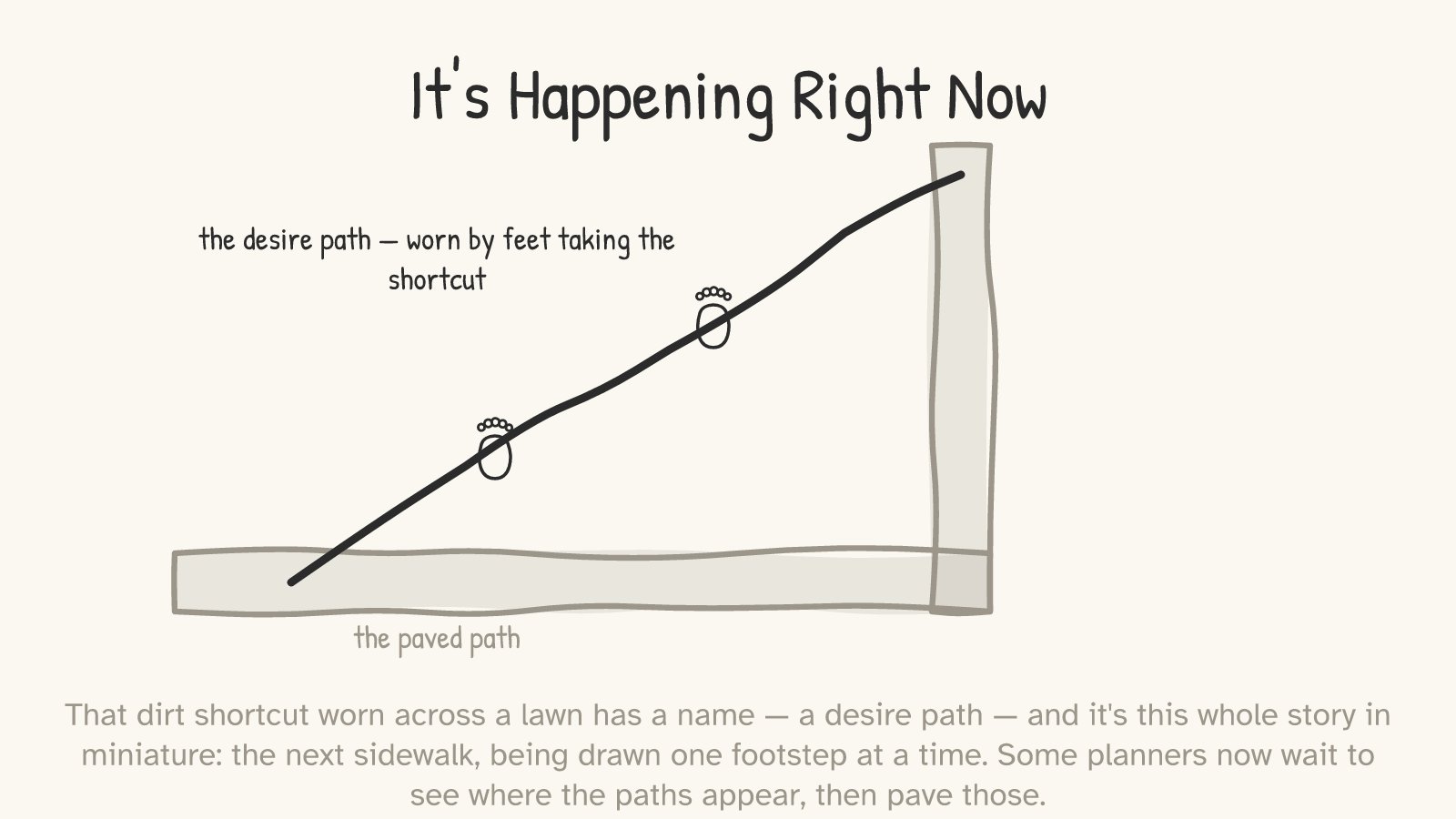
The next sidewalk is being drawn the same way the first road was.
You live in an accreted world
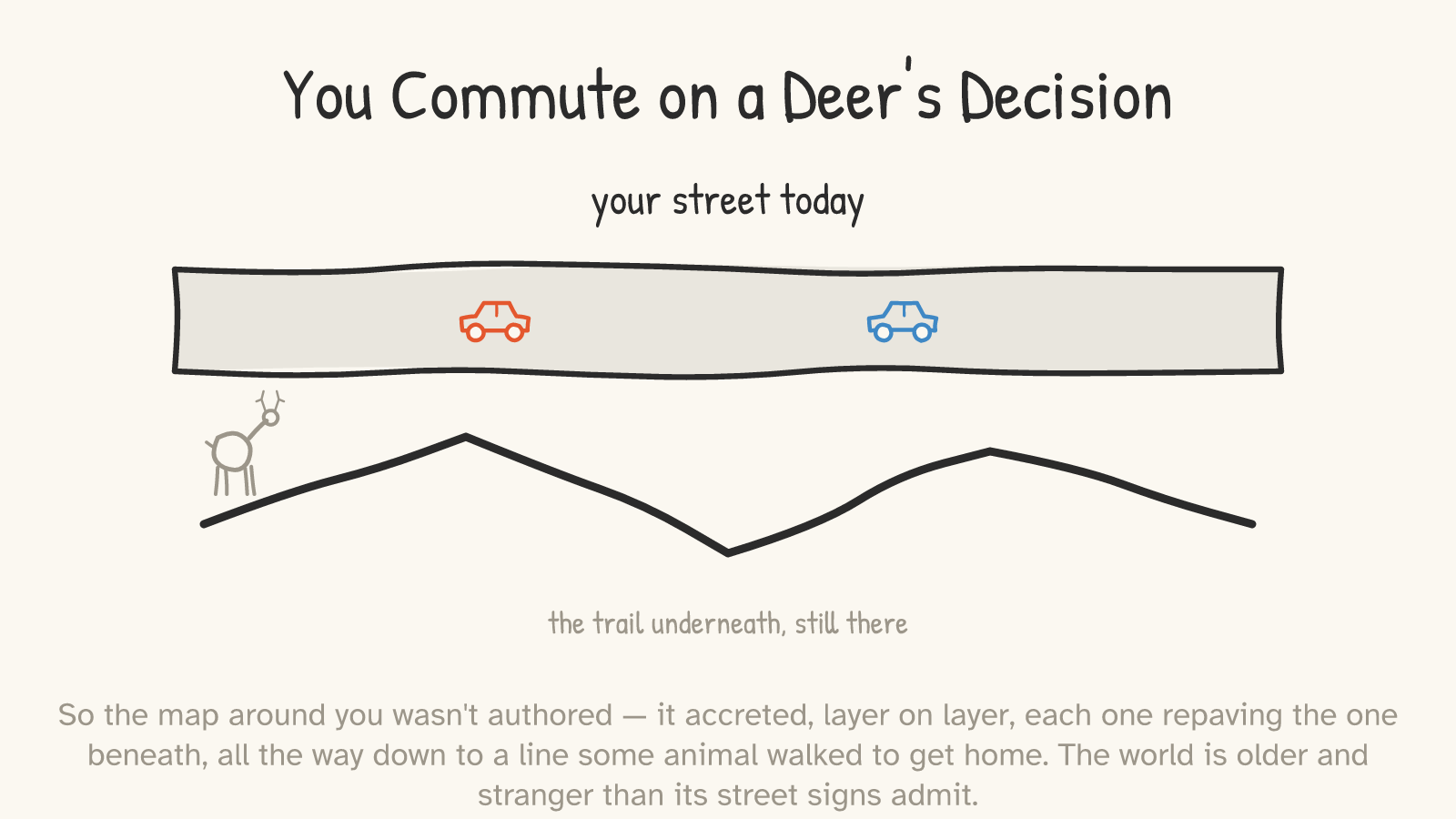
Pull it together and the street signs start to look like the surface of something much deeper. The map around you wasn't authored, the way the Manhattan grid was. Mostly it accreted — layer on layer, each one repaving the one beneath, the freeway over the wagon road over the footpath over the line some animal walked to get home before anyone was keeping records.
The street names will even tell you, if you ask. Wall Street is named for a literal wooden defensive wall the Dutch built in 1653; the wall came down in 1699 and the name stayed.15 Canal Street is named for an actual canal, an early-1800s drainage ditch that was covered over around 1819; the water is gone and the name is a fossil.15 The city is full of these — words that outlived the things they describe, pointing down through the layers to an older world.
So the next time a street bends for no reason you can see, give it the benefit of the doubt. It may not be a mistake. It may be the oldest thing on the map — a line that was the easy way once, walked by something that needed to get somewhere, and kept simply because, once a path exists, it is almost always cheaper to follow it than to start again. The world is older and stranger than its street signs admit. You drive on its memory.
Footnotes & receipts
- The Commissioners' Plan of 1811. The state-appointed commission laid the rectilinear grid over Manhattan above roughly Houston Street, explicitly to make the land easy to survey, sell, and build on. New York City history; the Plan and the Greensward map are well documented (NYPL Map Division; standard NYC planning history). ↩
- Broadway breaks the grid; the "bowtie" squares. Where the diagonal Broadway crosses the grid's avenues, it opens the irregular public spaces now called Union Square (~14th St), Madison Square (~23rd), Herald Square (~34th), and Times Square (~42nd) — Herald and Times are the classic "bowtie" X-crossings. SAH Archipedia; standard Manhattan geography. ↩
- Lower Broadway follows a Lenape trail; scope the claim. Lower Broadway (Battery to ~23rd St) traces a pre-colonial Lenape footpath — the Wickquasgeck Trail, named for the Wecquaesgeek band who used it — recorded as a daily-use route in David de Vries's 1642 journal; the Dutch widened it into their main thoroughfare (the Heere Straat). Above ~23rd St the original trail veered east toward what is now St. Nicholas Avenue, and the straight upper run of Broadway was laid out later on a new alignment — so "all of Broadway is an old Indian trail" is oversold. (The popular "Broadway comes from the Dutch Breede Weg" etymology is contested and is avoided here.) New Netherland Institute (citing de Vries 1642); SAH Archipedia. ↩
- Don't romanticize the trails. Native American trails were intentional, efficient routes connecting real destinations, often following ridgelines and river gaps — practical wayfinding, not aimless wandering or instinct. Critical-geography caution against "noble savage" framing. ↩
- Sepulveda Pass / I-405. The 405 crosses the Santa Monica Mountains via the Sepulveda Pass, used in a documented sequence: Tongva footpath (centuries) → 1769 Portolá expedition → 1875 wagon road (Sepulveda Road) → I-405 cut through 1960–62. The freeway required massive cuts and earthwork — it inherited the corridor/pass, not the literal path. Nathan Masters, "Lost L.A." (PBS SoCal / Los Angeles Magazine). ↩
- Cumberland Gap — buffalo blazed it. The National Park Service states that bison "blazed a trail through the gap," followed by Native nations, then the trail Daniel Boone's party cleared for the Transylvania Company in 1775 (improved into a wagon road in 1796), then modern highways — all through the one practical passage in the ridge. National Park Service, Cumberland Gap NHP. ↩
- Natchez Trace — likely a bison trace. The Trace likely originated as a bison trail toward salt licks, later used by Native peoples and frontier travelers, now the Natchez Trace Parkway. The bison origin is inferred from its ridgeline, swamp-avoiding course rather than directly documented — hence "likely." Mississippi Encyclopedia; NPS. ↩
- "The Calf-Path," Sam Walter Foss, 1895. The poem (later collected in his volume Dreams in Homespun, 1897) traces a calf's crooked trail becoming a forest path, a lane, a road, and finally a metropolis's main street; the closing couplet is "A hundred thousand men were led / By one calf near three centuries dead." An allegory, framed as such — not a historical record of a specific street. ↩
- Boston's "cow paths" are a myth. Boston's crooked streets came from the hilly Shawmut peninsula's topography, property lines, cart ways, and the annexation of separate towns — not cattle. The legend traces to Ralph Waldo Emerson's line "We say the cows laid out Boston. Well, there are worse surveyors," from his book The Conduct of Life (1860). Historians call the literal cow-path story folklore (e.g., Boston Magazine debunk, 2018). ↩
- Rail gauge ≠ Roman chariots. Standard gauge (4 ft 8.5 in / 1,435 mm, now ~55% of world railways) derives from the English colliery wagonways George Stephenson built his railways to roughly match — not Roman chariot ruts. The chariot claim is a long-debunked chain email. Snopes / TruthOrFiction; Puffert (EH.net); Wolmar, Fire & Steam. ↩
- Path dependence. Early, sometimes arbitrary choices get locked in by sunk costs and increasing returns: once a route exists, the property and buildings that crowd it make relocation cost more than repaving. Paul A. David, "Clio and the Economics of QWERTY," American Economic Review Papers & Proceedings, Vol. 75, No. 2 (May 1985); W. Brian Arthur, Increasing Returns and Path Dependence in the Economy (1994). ↩
- QWERTY — lock-in solid, inferiority contested. David argued QWERTY locked in possibly-suboptimal; Liebowitz & Margolis, "The Fable of the Keys" (Journal of Law and Economics, 1990), dispute that QWERTY is actually worse than alternatives like Dvorak. The lock-in mechanism is uncontested; "QWERTY is proven inferior" is not — so this essay only claims the lock-in. ↩
- Roman roads still shape modern Europe. Dalgaard, Kaarsen, Olsson & Selaya, "Roman Roads to Prosperity: Persistence and Non-Persistence of Public Infrastructure," Journal of Comparative Economics (2022): regions with denser ancient Roman roads have denser modern roads and greater present-day economic activity — with exceptions where the network was abandoned. ↩
- Desire paths. Shortcuts worn into the ground by repeated foot traffic where pavement didn't go — the least-resistance route chosen by feet (Dutch olifantenpad, "elephant path"; German Trampelpfad). Some planners observe where they form and pave those. Urban-planning literature; the practice of paving desire lines is real, though specific "university X did it" anecdotes are often unverified, so this stays general. ↩
- Wall Street and Canal Street are name-fossils. Wall Street is named for a Dutch defensive wall built in 1653 (removed 1699); Canal Street for an actual early-1800s drainage canal, covered over around 1819. The structures are long gone; the names persist. NYC street history (LiveScience; standard references). ↩